Providing your mobile workers elite GIS capabilities.

InformME is the integration of Interloc Solutions‘ award-winning Mobile Informer technology and the leading spatial integration for Maximo, ActiveG MapEngine, creating the premier combination of mobile mapping and Maximo processing.
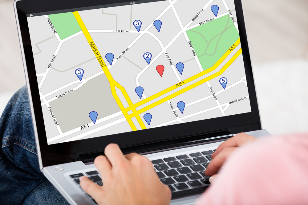
Mobile users can access all the Maximo and ArcGIS details they need from one map-centric platform.
Mobile users can access their GIS data, even when offline. So they always have the map detail they need.
InformME provides an intuitive map actions to perform the Maximo activities your mobile workforce requires.
The combination of the ActiveG’s InformME and the Mobile Informer platform provides a seamless online / offline solution that brings together all of your Esri Geographic Information System (GIS) and IBM Maximo data together in one mobile asset management tool.
You'll get unobtrusive synchronization of GIS offline data (and your users will hardly notice).
Whether you have internet connectivity or not, users will still have continuous, robust Maximo work management capabilities paired with a rich, online/offline spatial data interface.
InformME users, in addition to complete map visualization of Maximo work orders and service requests, have full access to all the available information your Esri ArcGIS Server provides. So, even if you’re running InformME in remote locations, you’ll still have all the mapping information you need to make good decisions.
Users can easily search and find asset and work order info, including multi-asset work orders in the map.
Publishing content for InformME is as easy as publishing an ArcGIS map service.
Users can control the visibility of assets and work order symbols on the map.
InformME’s map stays fresh by synchronizing changes unobtrusively, so users don’t have to worry about lengthy, complicated sync processes.
Create multi-asset work orders from the map by choosing multiple assets, and then view work order symbols on all the assets for a given work order.
Use the map to search for GIS and Maximo records.
Getting in touch with us will improve your business tremendously. You can expect to hear from us shortly.

-1.png)